
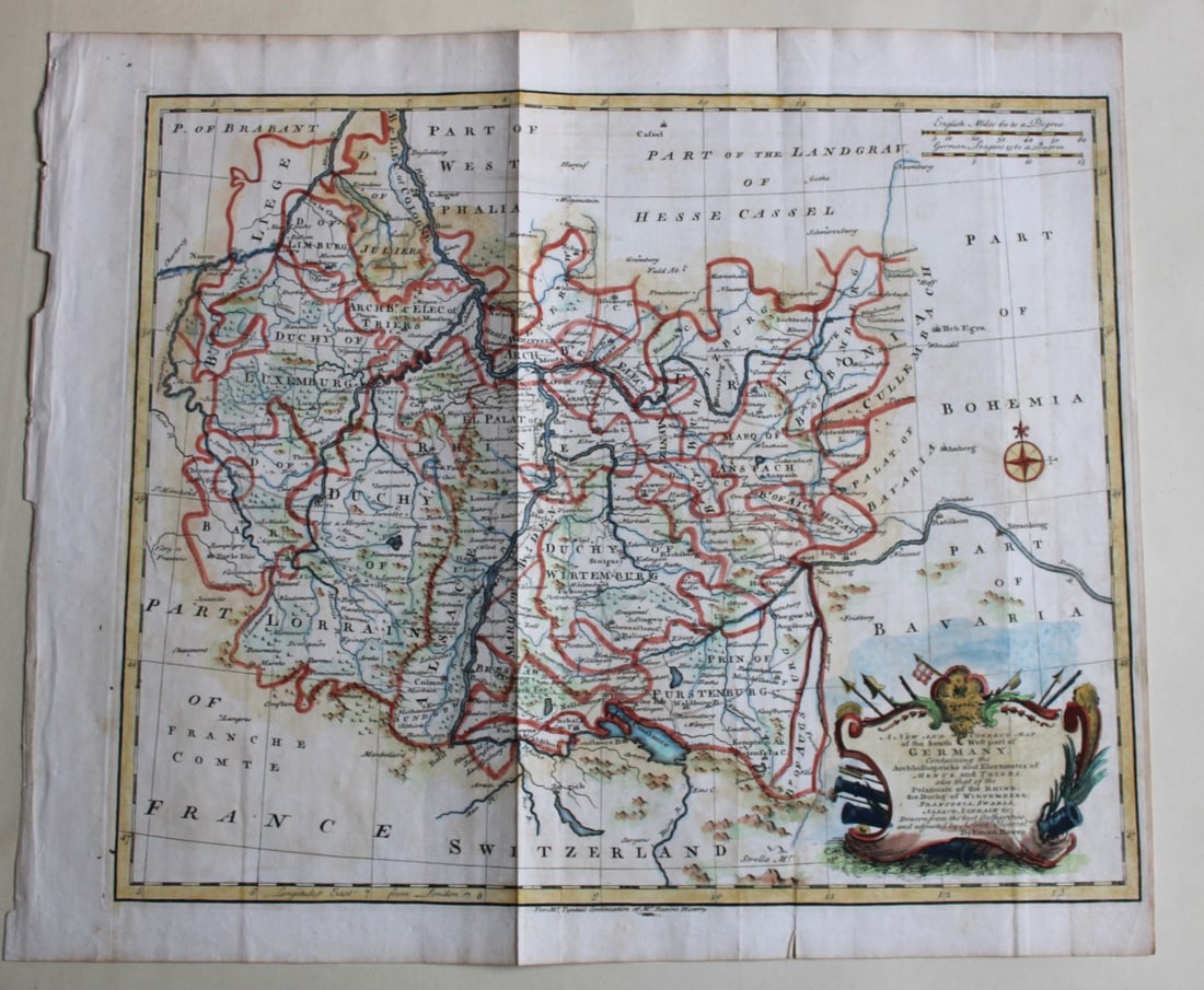
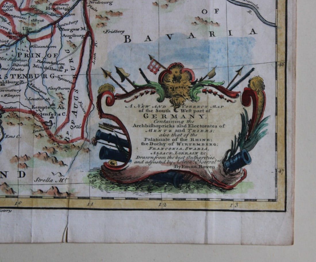
Lot 6315: South West Germany by Emanuel Bowen 1744-47
Hand-coloured copper plate engraved map – A New and Correct Map of the South West part of Germany containing the Archbishopricks and Electorates of Mentz and Triers, also that of the Palatinate of the Rhine, the Duchy of the Wirtemberg, Franconia, Swania, Alsace, Lorraine, etc, from the History of England by Rapin and Tindal, Drawn from the best Authorities and adjusted by Emanuel Bowen. 1744-47 Captioned ‘For Mr. Tyndal’s Continuation of Mr. Rapin’s History’. The History of England by Mr. Rapin de Thoyras continued from the Revolution to the accession of King George II by N. Tindal … Illustrated with the heads of the kings, queens, and several eminent persons; also with maps, medals, and other copper plates was published in parts by John and Paul Knapton in London, 1744-47. The maps show not only the British Isles but also parts of western Europe in which British armies had campaigned since 1688. Size: 14in x 16.5in (35.5cm x 42cm)
Condition: The print is in excellent condition with folds as issued – please inspect the image carefully as it is very accurate.
Share this lot: