
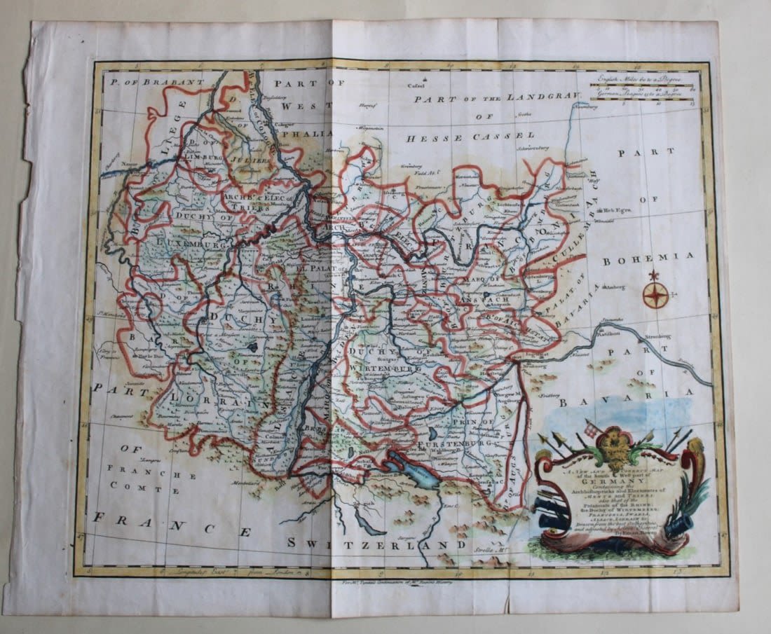
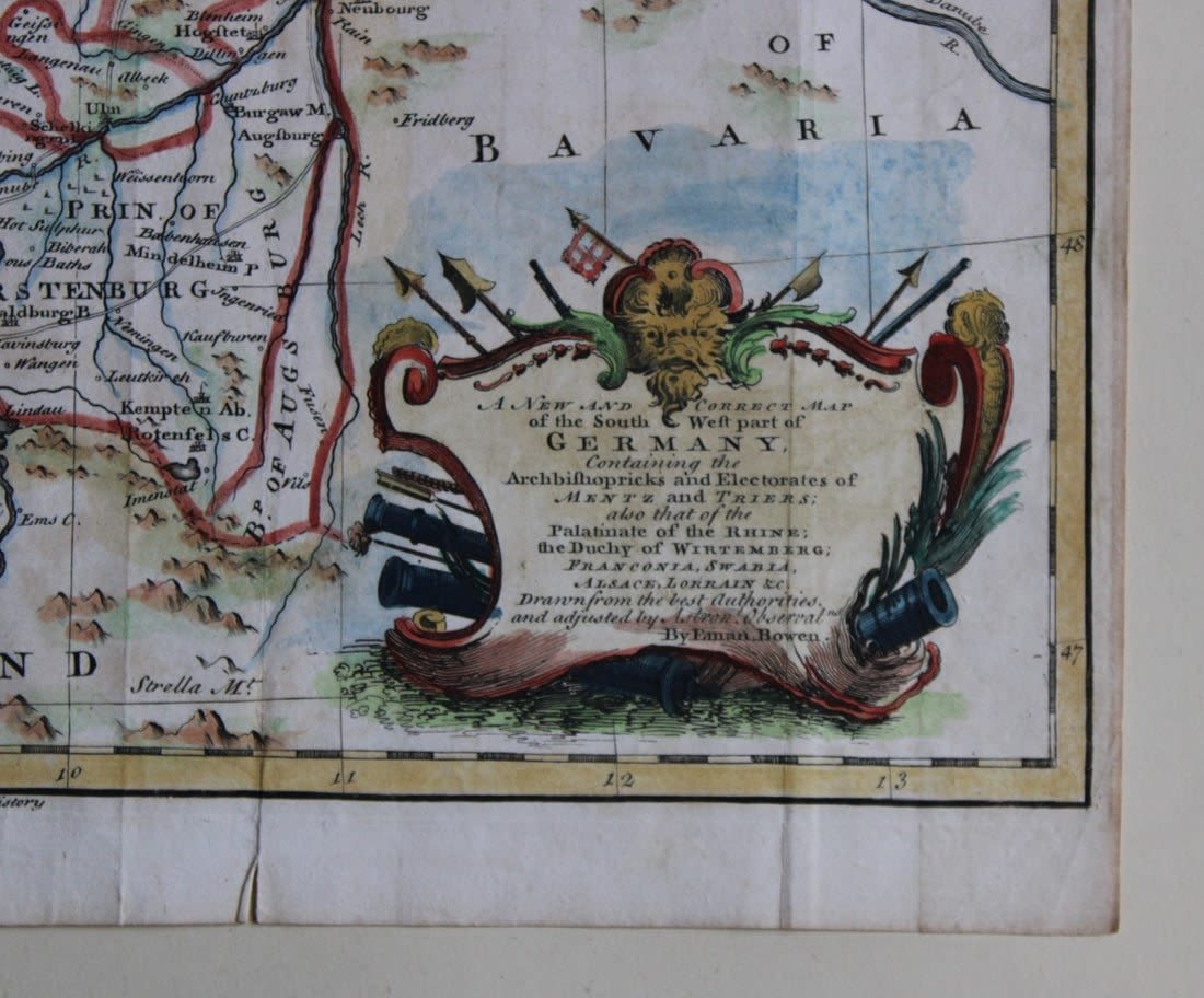
Lot 5425: South West Germany by Emanuel Bowen 1744-47
Hand-coloured copper plate engraved map – A New and Correct Map of the South West part of Germany containing the Archbishopricks and Electorates of Mentz and Triers, also that of the Palatinate of the Rhine, the Duchy of the Wirtemberg, Franconia, Swania, Alsace, Lorraine, etc, from the History of England by Rapin and Tindal,
Drawn from the best Authorities and adjusted by Emanuel Bowen. 1744-47.
Size: 14in x 16.5in (35.5cm x 42cm)
Condition: The print is in excellent condition with folds as issued – please inspect the image carefully as it is very accurate.
Share this lot: